
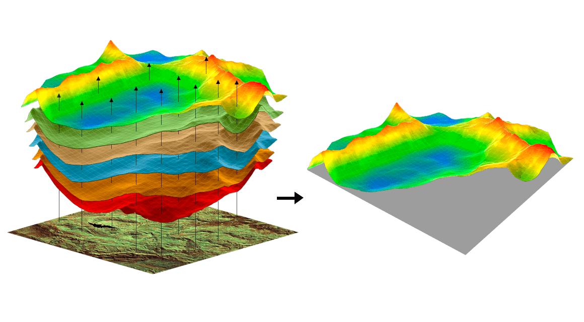
Spatial analysis covers all actions applied to geospatial data, from generating research questions to finalizing the results. The whole process of spatial analysis constitutes the utilization of advanced analytics for geospatial data study with the purpose of answering questions by extracting or creating new data.
Thanks to GIS flexibility, spatial analysis can pose one simple task or a variety of complex tasks. An example of a simple task would be just data visualization on a map for further interpretation by users. And a complex task could include working with multiple datasets, spatial statistics, and Python scripts.
The main point of working with geospatial data is having a precise picture of what you want your result to look like. Having the final product in mind makes it much easier to decide on how to manipulate the data and what spatial analysis to apply.
In this piece, we will showcase how spatial analysis can be applied on the examples of agricultural and health spheres and single out a couple of the most common errors that may occur in the process.
Spatial Analysis in Farming
For geospatial technology to be successful, the data has to be collected and analyzed effectively. For this purpose, several techniques are used. And the common ground for almost all of these techniques is that they are based on remote sensing.
Remote sensing is most useful for dividing a field into different zones for smart management of each one according to its condition. The division of a field into zones can be based on soil type, pest infestation, disease outbreak, nutrient availability, soil moisture content, crop characteristics, etc. Usually, such in-depth and remote field assessment relies on the analysis of different vegetation indices, NDVI being the most common of those.
On top of that, farmers can retrieve relevant aerial and satellite imagery of the field throughout one or several growing seasons to compare the data and see if there are any patterns repeating themselves. With this data, the grower can determine productivity of each field zone to react timely and impact the future yield.
Ultimately, modern precision agriculture largely depends on image-based data for the analysis of field greenness and its homogeneity to decide on the right soil and crop treatment and maximize yield in all management zones.
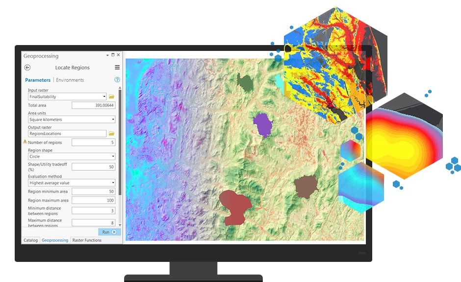
But how is all of this data collected, stored and analyzed to be ready for farmers to use? Spatial data is collected by satellites and can be stored and analyzed with the help of specific algorithms designed for these purposes. The access to all of this already analyzed information is possible via a variety of GIS software present on the market.
Spatial Analysis in Healthcare
Geospatial data can also be used to research spatial aspects of illnesses and health issues. It allows for determining the location where disease was found, how it relates to the environment, and whether people are seeking healthcare. For these purposes, maps, spatial statistics, and GIS tools are used.
Such tools enable storage, display, and analysis of geographic data. The data can be anything associated with a particular location and can be mapped. For instance, disease cases, hospitals, waterways, health catchment areas, and more. Analyzing and mapping the data, it’s much easier to identify disease rates and their dynamics and find the healthcare facilities nearby.
Possible Errors in Spatial Analysis
Here are the most common fallacies that may occur in the process of spatial analysis.
Locational Error
This type of error may happen due to the particular spatial characterization that was chosen for the study (chosen placement for the spatial element’ location). Such characterizations may be significantly simplified or even false, which can result in poor analysis.
Ecological Error
This type of error may occur in the process of trying to reach conclusions on single units in the middle of analyzing accumulated data. For instance, it would be an ecological error to assume that an individual from a particular city has a high income because that specific county has a higher average income rate compared to other countries.
Ultimately, spatial analysis requires thorough refining of research questions before the start of data manipulation. It’s also critical to understand that these questions may change in the process of available data study. As you gain GIS knowledge and insight, you will most likely want to adjust both your original plan and spatial analysis accordingly.
Leave a Reply